
Bakouma topographic map
Interactive map
Click on the map to display elevation.
About this map
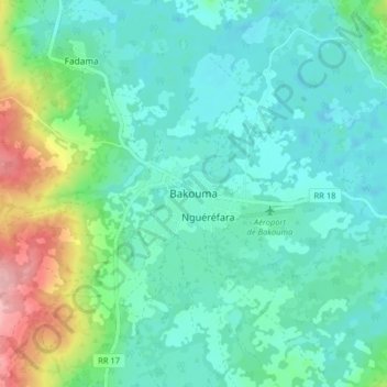
Name: Bakouma topographic map, elevation, terrain.
Location: Bakouma, Mbomou, Central African Republic (5.65822 22.74522 5.73822 22.82522)
Average elevation: 555 m
Minimum elevation: 522 m
Maximum elevation: 665 m
Other topographic maps
Click on a map to view its topography, its elevation and its terrain.
Rafaï
Central African Republic > Mbomou
Rafaï, Mbomou, Central African Republic
Average elevation: 549 m