Geolocate

Snake River topographic map

Click on the map to display elevation.

About this map

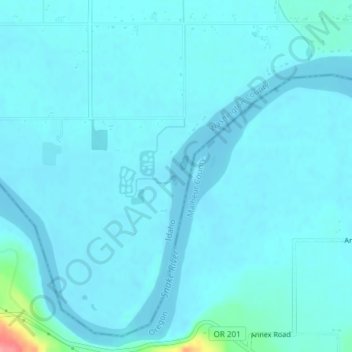
Name: Snake River topographic map, elevation, terrain.

Location: Snake River, Washington County, Idaho, USA (44.23865 -117.04475 44.24356 -117.04113)

Average elevation: 643 m

Minimum elevation: 635 m

Maximum elevation: 726 m

Gear up for your next adventure:

Family Camping Tent - Spacious tent suitable for family camping trips
🥾Trail Hiking Boots - Supportive boots for rough trails
🔦UV Flashlight - Detect minerals or specific insects in the dark
🩹Compact First Aid Kit - Pre-packed essentials for common trail injuries
🛁Quick-Dry Microfiber Towel - Space-saving towel that dries rapidly on the move

As an Amazon Associate, this site earns from qualifying purchases at no extra cost to you.