Geolocate

Larwill topographic map

Click on the map to display elevation.

About this map

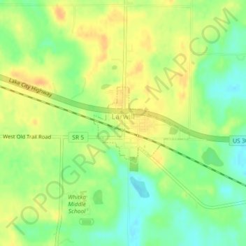
Name: Larwill topographic map, elevation, terrain.

Location: Larwill, Whitley County, Indiana, United States (41.17594 -85.62979 41.18382 -85.61589)

Average elevation: 288 m

Minimum elevation: 270 m

Maximum elevation: 301 m

Other topographic maps

Click on a map to view its topography, its elevation and its terrain.

Collins

United States > Indiana > Whitley County

Average elevation: 265 m

Crossroads

United States > Indiana > Whitley County

Average elevation: 257 m

Gear up for your next adventure:

🚲Heavy Duty Bike Lock - Secure your bike at the trailhead or during stops
💡Compact LED Flashlight - Powerful and portable flashlight for outdoor use
🧥Fleece Jacket - Warm and lightweight jacket for layering
🧥Thermal Layer - Insulating layer for cold outdoor conditions
🛰️Satellite Messenger - Emergency communication for areas with no cell service

As an Amazon Associate, this site earns from qualifying purchases at no extra cost to you.