Geolocate

Solra topographic map

Click on the map to display elevation.

About this map

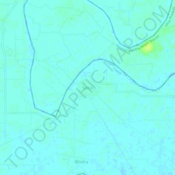
Name: Solra topographic map, elevation, terrain.

Location: Solra, Palwal, Palwal District, Haryana, India (28.16658 77.49339 28.20658 77.53339)

Average elevation: 189 m

Minimum elevation: 186 m

Maximum elevation: 199 m

Other topographic maps

Click on a map to view its topography, its elevation and its terrain.

Prithla

India > Haryana > Palwal

Average elevation: 196 m

Gear up for your next adventure:

💧Hydration Pack - Hands-free hydration system for long hikes
🔨Vehicle Emergency Tool - Safety tool for remote road trips to trailheads
🛶Kayak Dry Bag - Waterproof storage for kayaking adventures
🥽Outdoor Goggles - Protective eyewear for outdoor activities
🧴Insect Repellent - Protect yourself from bugs during outdoor adventures

As an Amazon Associate, this site earns from qualifying purchases at no extra cost to you.