
Goesnes topographic map
Interactive map
Click on the map to display elevation.
About this map
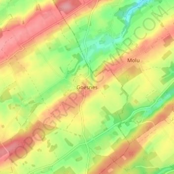
Name: Goesnes topographic map, elevation, terrain.
Location: Goesnes, Ohey, Namur, Wallonie, 5353, Belgique (50.42010 5.20178 50.46010 5.24178)
Average elevation: 237 m
Minimum elevation: 185 m
Maximum elevation: 281 m