
Brea topographic map
Interactive map
Click on the map to display elevation.
About this map
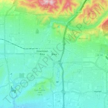
Name: Brea topographic map, elevation, terrain.
Location: Brea, Orange County, California, 92821, United States (33.87704 -117.92886 33.95704 -117.84886)
Average elevation: 140 m
Minimum elevation: 53 m
Maximum elevation: 435 m