Geolocate

Curtis topographic map

Click on the map to display elevation.

About this map

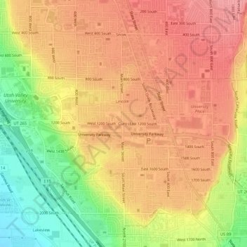
Name: Curtis topographic map, elevation, terrain.

Location: Curtis, Orem, Utah County, Utah, 84058, United States (40.25523 -111.71493 40.29523 -111.67493)

Average elevation: 1,433 m

Minimum elevation: 1,373 m

Maximum elevation: 1,470 m

Gear up for your next adventure:

🎒Fully Waterproof Backpack - Total protection for photography gear and electronics
🥤Collapsible Travel Cup - Saves space and weight in your mess kit
🛶Waterproof Dry Bags - Keep electronics and clothes dry during river crossings
🥘Camping Cookware Set - Compact nesting pots and pans for trail cooking
🥾Mountain Hiking Shoes - Shoes with superior grip for mountainous terrain

As an Amazon Associate, this site earns from qualifying purchases at no extra cost to you.