
Thank you for supporting this site ❤️
Make a donation
Make a donation
Gear up for your next adventure:
As an Amazon Associate, this site earns from qualifying purchases at no extra cost to you.
Kannar topographic map
Click on the map to display elevation.
Thank you for supporting this site ❤️
Make a donation
Make a donation
Gear up for your next adventure:
As an Amazon Associate, this site earns from qualifying purchases at no extra cost to you.
About this map
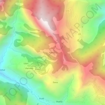
Name: Kannar topographic map, elevation, terrain.
Location: Kannar, Kapkot, Bageshwar, Uttarakhand, 263633, Inde (29.97317 80.00329 30.01317 80.04329)
Average elevation: 1,993 m
Minimum elevation: 1,395 m
Maximum elevation: 2,644 m
Thank you for supporting this site ❤️
Make a donation
Make a donation
Gear up for your next adventure:
As an Amazon Associate, this site earns from qualifying purchases at no extra cost to you.