
Canlubang topographic map
Interactive map
Click on the map to display elevation.
About this map
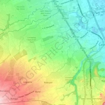
Name: Canlubang topographic map, elevation, terrain.
Location: Canlubang, Calamba, Laguna, Calabarzon, 4028, Philippinen (14.15986 121.03123 14.23776 121.12748)
Average elevation: 107 m
Minimum elevation: 7 m
Maximum elevation: 288 m