Geolocate

Sabariego topographic map

Click on the map to display elevation.

About this map

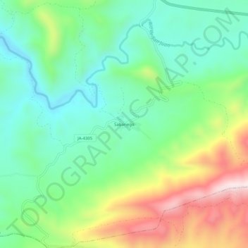
Name: Sabariego topographic map, elevation, terrain.

Location: Sabariego, Alcaudete, Jaén, Andalucía, España (37.50562 -4.06423 37.54562 -4.02423)

Average elevation: 655 m

Minimum elevation: 468 m

Maximum elevation: 1,019 m

Other topographic maps

Click on a map to view its topography, its elevation and its terrain.

Río Caicena

España > Andalucía > Alcaudete

Average elevation: 606 m

Gear up for your next adventure:

🥾Light Trekking Boots - Supportive boots for multi-day treks
🥾Lightweight Hiking Shoes - Comfortable shoes for day hikes
🛶Waterproof Dry Bags - Keep electronics and clothes dry during river crossings
🧴Outdoor Sunscreen - High SPF protection for high-altitude UV exposure
🪜Heavy Duty Carabiners - Multi-use clips for securing gear to your backpack

As an Amazon Associate, this site earns from qualifying purchases at no extra cost to you.