Geolocate

Les Faux topographic map

Click on the map to display elevation.

About this map
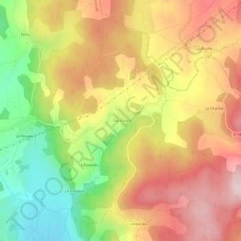
Name: Les Faux topographic map, elevation, terrain.

Location: Les Faux, Saint-Alban-sur-Limagnole, Mende, Lozère, Occitanie, France métropolitaine, 48120, France (44.78282 3.40355 44.82282 3.44355)

Average elevation: 1,141 m

Minimum elevation: 952 m

Maximum elevation: 1,301 m

Other topographic maps

Click on a map to view its topography, its elevation and its terrain.

48120

France > Occitanie > Lozère > Saint-Alban-sur-Limagnole

Average elevation: 1,156 m

Gear up for your next adventure:

⛺Lightweight Camping Tent - Portable shelter optimized for Canadian backcountry camping
🥘Camping Cookware Set - Compact nesting pots and pans for trail cooking
☕Camping Coffee Maker - Brew fresh coffee anywhere on the topographic map
🧦Thermal Socks - Warm socks for winter hiking or camping
🔦LED Flashlight - Powerful and long-lasting flashlight for camping and emergencies

As an Amazon Associate, this site earns from qualifying purchases at no extra cost to you.