Geolocate

Tusculum topographic map

Click on the map to display elevation.

About this map

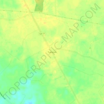
Name: Tusculum topographic map, elevation, terrain.

Location: Tusculum, Effingham County, Georgia, United States (32.37297 -81.45066 32.41297 -81.41066)

Average elevation: 35 m

Minimum elevation: 19 m

Maximum elevation: 43 m

Other topographic maps

Click on a map to view its topography, its elevation and its terrain.

Rincon

United States > Georgia > Effingham County

Average elevation: 19 m

Rincon

United States > Georgia > Effingham County

Average elevation: 19 m

Gear up for your next adventure:

🧭Orienteering Kit - Tools for map reading and navigation in the wild
🚲Heavy Duty Bike Lock - Secure your bike at the trailhead or during stops
🧴First Aid Kit - Essential first aid supplies for outdoor emergencies
🧴Bear Spray Holster - Quick-access carry for essential Canadian wilderness safety
🛶Waterproof Dry Bags - Keep electronics and clothes dry during river crossings

As an Amazon Associate, this site earns from qualifying purchases at no extra cost to you.