Rheinquelle topographic map
Click on the map to display elevation.
Rheinquelle
The Swiss Federal Office of Topography and ETH Zürich indicate a point north of Lake Toma and the Rein da Tuma as the source of the Rhine (and also of the Vorderrhein), and as the source of the Hinterrhein a point in the upper valley of the Rheinwald, east of the Rheinwaldhorn.
About this map
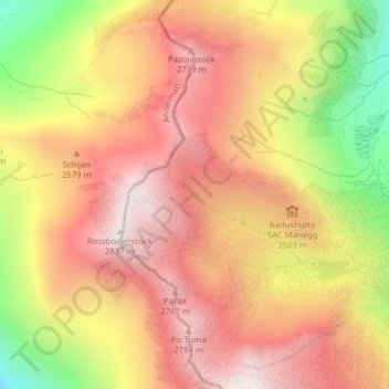
Name: Rheinquelle topographic map, elevation, terrain.
Average elevation: 2,435 m
Minimum elevation: 1,822 m
Maximum elevation: 2,832 m
Other topographic maps
Click on a map to view its topography, its elevation and its terrain.