
Blokker topographic map
Interactive map
Click on the map to display elevation.
About this map
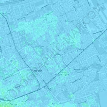
Name: Blokker topographic map, elevation, terrain.
Location: Blokker, Hoorn, Nordholland, Niederlande (52.64597 5.06872 52.67042 5.11941)
Average elevation: 0 m
Minimum elevation: -3 m
Maximum elevation: 4 m
Other topographic maps
Click on a map to view its topography, its elevation and its terrain.