
Sainte Rita topographic map
Interactive map
Click on the map to display elevation.
About this map
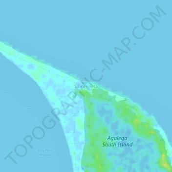
Name: Sainte Rita topographic map, elevation, terrain.
Location: Sainte Rita, Agaléga, Îles éparses de Maurice, Maurice (-10.47460 56.66165 -10.43460 56.70165)
Average elevation: 1 m
Minimum elevation: -4 m
Maximum elevation: 17 m