Geolocate

Charlestowne topographic map

Click on the map to display elevation.

About this map

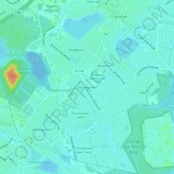
Name: Charlestowne topographic map, elevation, terrain.

Location: Charlestowne, Virginia Beach, Virginia, 23464, United States (36.76111 -76.20417 36.80111 -76.16417)

Average elevation: 8 m

Minimum elevation: -10 m

Maximum elevation: 43 m

Other topographic maps

Click on a map to view its topography, its elevation and its terrain.

Gear up for your next adventure:

🛁Quick-Dry Microfiber Towel - Space-saving towel that dries rapidly on the move
🧥Waterproof Jacket - Lightweight rain jackets for hiking and outdoor activities
🧶550 Survival Paracord - Versatile utility cord for emergency repairs and rigging
🧊Portable Cooler - Keep food and drinks cold during outdoor adventures
🧢Outdoor Cap - Protective cap for sun and rain during hikes

As an Amazon Associate, this site earns from qualifying purchases at no extra cost to you.