
Heule topographic map
Interactive map
Click on the map to display elevation.
About this map
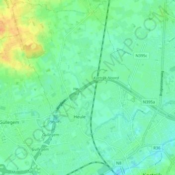
Name: Heule topographic map, elevation, terrain.
Location: Heule, Kortrijk, West Flanders, Flanders, 8501, Belgium (50.82756 3.20577 50.87493 3.25859)
Average elevation: 19 m
Minimum elevation: 9 m
Maximum elevation: 42 m