Geolocate

Raliang topographic map

Click on the map to display elevation.

About this map

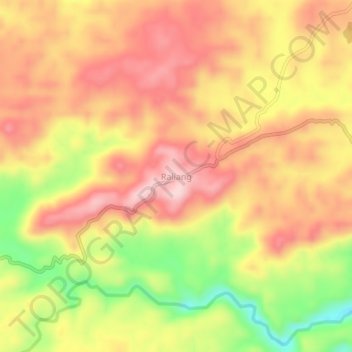
Name: Raliang topographic map, elevation, terrain.

Location: Raliang, Laskein, West Jaintia Hills, Meghalaya, India (25.47890 92.37354 25.51890 92.41354)

Average elevation: 1,239 m

Minimum elevation: 1,093 m

Maximum elevation: 1,334 m

Gear up for your next adventure:

❄️Traction Ice Cleats - Slip-on spikes for icy trails and winter hiking
👟Sport Hiking Sandals - Breathable footwear for water crossings and camp rest
🧰Survival Kit - Essential gear for emergencies in the wilderness
🔦LED Headtorch - Bright and durable light for night activities
🛌Insulated Sleeping Pad - Critical thermal barrier between you and the cold ground

As an Amazon Associate, this site earns from qualifying purchases at no extra cost to you.