Geolocate

Ruparan topographic map

Click on the map to display elevation.

About this map

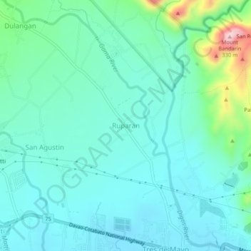
Name: Ruparan topographic map, elevation, terrain.

Location: Ruparan, Digos, Davao del Sur, Davao Region, 8002, Philippines (6.76465 125.30702 6.80465 125.34702)

Average elevation: 79 m

Minimum elevation: 21 m

Maximum elevation: 325 m

Gear up for your next adventure:

🔦UV Flashlight - Detect minerals or specific insects in the dark
🪜Heavy Duty Carabiners - Multi-use clips for securing gear to your backpack
🛶Kayak Dry Bag - Waterproof storage for kayaking adventures
🧥Waterproof Jacket - Lightweight rain jackets for hiking and outdoor activities
🔦LED Headtorch - Bright and durable light for night activities

As an Amazon Associate, this site earns from qualifying purchases at no extra cost to you.