Geolocate

Norwood topographic map

Click on the map to display elevation.

About this map

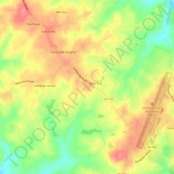
Name: Norwood topographic map, elevation, terrain.

Location: Norwood, Albemarle County, Virginia, 22936, United States (38.12486 -78.49140 38.16486 -78.45140)

Average elevation: 171 m

Minimum elevation: 127 m

Maximum elevation: 205 m

Gear up for your next adventure:

🩹Compact First Aid Kit - Pre-packed essentials for common trail injuries
🧦Crew Hiking Socks - Comfortable socks for long-distance hikes
🎒Hiking Backpack - Lightweight and ergonomic backpacks for day hikes or multi-day treks
🥾Waterproof Trail Shoes - Shoes designed to handle wet terrain
🔭Outdoor Binoculars - Lightweight binoculars for birdwatching and hiking

As an Amazon Associate, this site earns from qualifying purchases at no extra cost to you.