Geolocate

Thompson Plateau topographic map

Interactive map

Click on the map to display elevation.

About this map

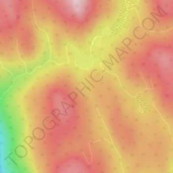
Name: Thompson Plateau topographic map, elevation, terrain.

Location: Thompson Plateau, Area B (Westside/Swan Lake/Kalamalka Lake), Regional District of North Okanagan, British Columbia, Canada (50.36247 -119.42492 50.38247 -119.40492)

Average elevation: 1,264 m

Minimum elevation: 1,036 m

Maximum elevation: 1,379 m

Other topographic maps

Click on a map to view its topography, its elevation and its terrain.

Kalamalka

Canada > British Columbia > Regional District of North Okanagan > Area B (Westside/Swan Lake/Kalamalka Lake)

Kalamalka, Area B (Westside/Swan Lake/Kalamalka Lake), Regional District of North Okanagan, British Columbia, V1H 1T2, Canada

Average elevation: 454 m