
Chablekal topographic map
Interactive map
Click on the map to display elevation.
About this map
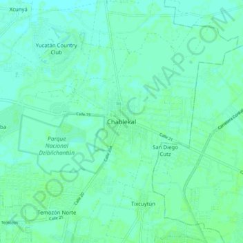
Name: Chablekal topographic map, elevation, terrain.
Location: Chablekal, Mérida, Yucatán, 97500, México (21.07569 -89.59720 21.11569 -89.55720)
Average elevation: 7 m
Minimum elevation: 5 m
Maximum elevation: 10 m
Other topographic maps
Click on a map to view its topography, its elevation and its terrain.
Parque de Santa Lucía
México > Yucatán > Mérida > Mérida
Parque de Santa Lucía, Mérida, Yucatán, México
Average elevation: 12 m