
Attapur topographic map
Interactive map
Click on the map to display elevation.
About this map
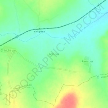
Name: Attapur topographic map, elevation, terrain.
Location: Attapur, Nawabpet mandal, Vikarabad, Telangana, India (17.36477 77.95938 17.40477 77.99938)
Average elevation: 612 m
Minimum elevation: 590 m
Maximum elevation: 649 m