Geolocate

Marsia topographic map

Click on the map to display elevation.

About this map

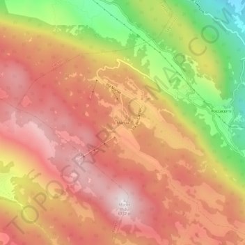
Name: Marsia topographic map, elevation, terrain.

Location: Marsia, Tagliacozzo, L'Aquila, Abruzzo, 67065, Italy (42.04449 13.16665 42.08449 13.20665)

Average elevation: 1,391 m

Minimum elevation: 868 m

Maximum elevation: 1,725 m

Gear up for your next adventure:

🧼Travel Hand Sanitizer - Keep hands clean when water is scarce
🛌Down Sleeping Bag - Superior warmth-to-weight ratio for cold nights
🧴Insect Repellent - Protect yourself from bugs during outdoor adventures
🧥Waterproof Hiking Jacket - Protect yourself from rain and wind while hiking
👖Convertible Hiking Pants - Zip-off legs to adapt to changing weather conditions

As an Amazon Associate, this site earns from qualifying purchases at no extra cost to you.