Geolocate

Paramankeni topographic map

Click on the map to display elevation.

About this map
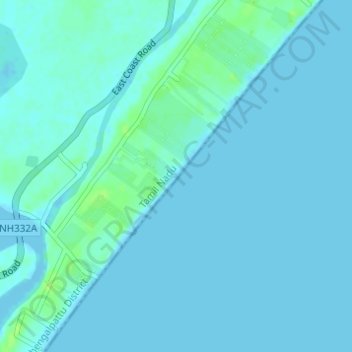
Name: Paramankeni topographic map, elevation, terrain.

Location: Paramankeni, Cheyyur, Chengalpattu District, Tamil Nadu, India (12.34308 80.06335 12.37300 80.08725)

Average elevation: 2 m

Minimum elevation: -1 m

Maximum elevation: 11 m

Other topographic maps

Click on a map to view its topography, its elevation and its terrain.

Cheyur

India > Tamil Nadu > Cheyyur

Average elevation: 8 m

Gear up for your next adventure:

🎒Fully Waterproof Backpack - Total protection for photography gear and electronics
🧊Portable Cooler - Keep food and drinks cold during outdoor adventures
🕶️Polarized Sunglasses - Protect your eyes with durable polarized lenses
🧭GPS Handheld Device - Reliable GPS navigation for outdoor adventures
🧰Emergency Multi-Tool - Compact multi-tool for outdoor survival

As an Amazon Associate, this site earns from qualifying purchases at no extra cost to you.