Geolocate

Drumchorick topographic map

Click on the map to display elevation.

About this map

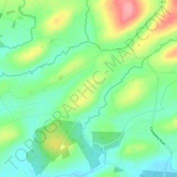
Name: Drumchorick topographic map, elevation, terrain.

Location: Drumchorick, Ulster, Northern Ireland, United Kingdom (54.55310 -7.69558 54.56530 -7.67231)

Average elevation: 108 m

Minimum elevation: 72 m

Maximum elevation: 174 m

Other topographic maps

Click on a map to view its topography, its elevation and its terrain.

Saintfield

United Kingdom > Northern Ireland

Average elevation: 87 m

Newcastle

United Kingdom > Northern Ireland

Average elevation: 115 m

Cranbrooke

United Kingdom > Northern Ireland

Average elevation: 97 m

Larne

United Kingdom > Northern Ireland > County Antrim > Larne

Average elevation: 54 m

Gear up for your next adventure:

👟Trail Running Shoes - Agile footwear for fast-paced topographic exploration
💧Hydration Bladder - Hands-free hydration solution for long treks
🧴Waterproofing Spray - Restore the DWR coating on jackets and tents
🧴First Aid Kit - Essential first aid supplies for outdoor emergencies
🧶550 Survival Paracord - Versatile utility cord for emergency repairs and rigging

As an Amazon Associate, this site earns from qualifying purchases at no extra cost to you.