
Pöhlberg topographic map
Click on the map to display elevation.
Pöhlberg
Der Pöhlberg ist ein Berg im Erzgebirge (Sachsen) mit einer Höhe von 831,1 m ü. NHN. Er liegt unmittelbar östlich der im Erzgebirgskreis gelegenen Kreisstadt Annaberg-Buchholz. Bis ins 18. Jahrhundert hinein wird der Berg in Land- und Stadtkarten als Bülberg oder Bielberg bezeichnet. Zu den Möglichkeiten der Herleitung des Namens können die slawische Silbe „Biel“ = weiß (weißer Berg) aber auch „Bühl“ bzw. „Biel“ als altertümliche Bezeichnungen für Hügel oder Anhöhe aufgeführt werden.
About this map
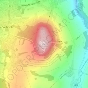
Name: Pöhlberg topographic map, elevation, terrain.
Average elevation: 643 m
Minimum elevation: 475 m
Maximum elevation: 835 m