Geolocate

Khurda topographic map

Click on the map to display elevation.

About this map

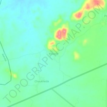
Name: Khurda topographic map, elevation, terrain.

Location: Khurda, Nowgong Tahsil, Chhatarpur, Madhya Pradesh, India (25.08866 79.52343 25.12866 79.56343)

Average elevation: 256 m

Minimum elevation: 233 m

Maximum elevation: 323 m

Other topographic maps

Click on a map to view its topography, its elevation and its terrain.

Deotha

India > Madhya Pradesh > Nowgong Tahsil > Deotha

Average elevation: 218 m

Gear up for your next adventure:

🧳Compression Sacks - Maximize space in your backpack by shrinking gear
🛶Kayak Accessories - Essential gear for safe and fun kayaking adventures
🧰Multitool Knife - Compact and versatile tool for outdoor use
🥾Waterproof Hiking Shoes - Durable shoes for wet and rugged trails
🚲Heavy Duty Bike Lock - Secure your bike at the trailhead or during stops

As an Amazon Associate, this site earns from qualifying purchases at no extra cost to you.