Geolocate

Tavares topographic map

Click on the map to display elevation.

About this map

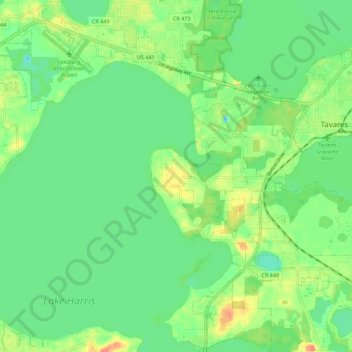
Name: Tavares topographic map, elevation, terrain.

Location: Tavares, Lake County, Florida, 32278, United States (28.74190 -81.78304 28.83820 -81.69152)

Average elevation: 22 m

Minimum elevation: 5 m

Maximum elevation: 50 m

Gear up for your next adventure:

🔦LED Flashlight - Powerful and long-lasting flashlight for camping and emergencies
🔦LED Headlamp - Hands-free lighting for early morning starts or late finishes
🧊Insulated Water Bottle - Keeps drinks cold in summer and prevents freezing in winter
🗺️Topographic Maps - Detailed maps to explore trails, mountains, and wilderness areas
🧦Merino Wool Socks - Moisture-wicking comfort for long-distance hiking

As an Amazon Associate, this site earns from qualifying purchases at no extra cost to you.