
Matița topographic map
Interactive map
Click on the map to display elevation.
About this map
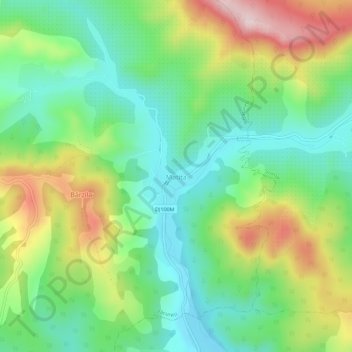
Name: Matița topographic map, elevation, terrain.
Location: Matița, Păcureți, Prahova, 107398, Rumänien (45.12190 26.14358 45.16190 26.18358)
Average elevation: 290 m
Minimum elevation: 177 m
Maximum elevation: 491 m
Other topographic maps
Click on a map to view its topography, its elevation and its terrain.