
Grand Trou topographic map
Interactive map
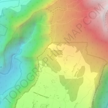
Click on the map to display elevation.
About this map
Name: Grand Trou topographic map, elevation, terrain.
Average elevation: 1,224 m
Minimum elevation: 552 m
Maximum elevation: 1,939 m
Other topographic maps
Click on a map to view its topography, its elevation and its terrain.
Plaine des Grègues
France > Réunion > Saint-Joseph
Plaine des Grègues, Saint-Joseph, Saint-Pierre, Réunion, 97480, France
Average elevation: 649 m
Cap Blanc
France > Réunion > Saint-Joseph
Cap Blanc, Saint-Joseph, Saint-Pierre, Réunion, 97480, France
Average elevation: 1,176 m