Geolocate

Farah topographic map

Click on the map to display elevation.

About this map

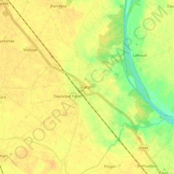
Name: Farah topographic map, elevation, terrain.

Location: Farah, Mathura, Mathura District, Uttar Pradesh, 281112, India (27.28061 77.72221 27.36061 77.80221)

Average elevation: 172 m

Minimum elevation: 154 m

Maximum elevation: 179 m

Gear up for your next adventure:

🔋Lithium AA Batteries - Long-lasting power that performs in extreme cold
🧭Orienteering Kit - Tools for map reading and navigation in the wild
🧦Merino Wool Socks - Moisture-wicking comfort for long-distance hiking
🩹Moleskin Blister Pads - Direct protection for painful foot pressure points
🥾Trail Hiking Boots - Supportive boots for rough trails

As an Amazon Associate, this site earns from qualifying purchases at no extra cost to you.