
Laar topographic map
Interactive map
Click on the map to display elevation.
About this map
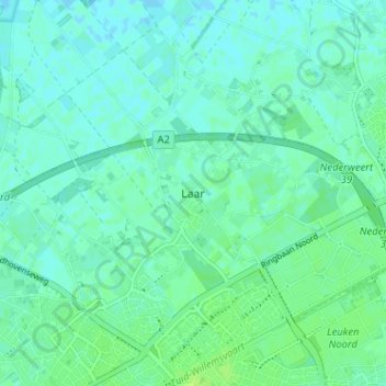
Name: Laar topographic map, elevation, terrain.
Location: Laar, Limburg, Niederlande, 6003, Niederlande (51.25737 5.68662 51.29737 5.72662)
Average elevation: 33 m
Minimum elevation: 29 m
Maximum elevation: 39 m