
Wimbledon topographic map
Interactive map
Click on the map to display elevation.
About this map
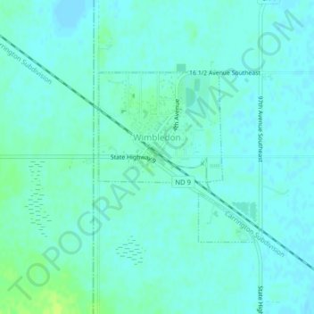
Name: Wimbledon topographic map, elevation, terrain.
Location: Wimbledon, Barnes County, North Dakota, 58492, United States (47.16066 -98.46727 47.17526 -98.44737)
Average elevation: 454 m
Minimum elevation: 450 m
Maximum elevation: 463 m
Other topographic maps
Click on a map to view its topography, its elevation and its terrain.
Valley City
United States > North Dakota > Barnes County
Valley City, Barnes County, North Dakota, 58072, United States
Average elevation: 399 m