Geolocate

Chaussepot topographic map

Click on the map to display elevation.

About this map
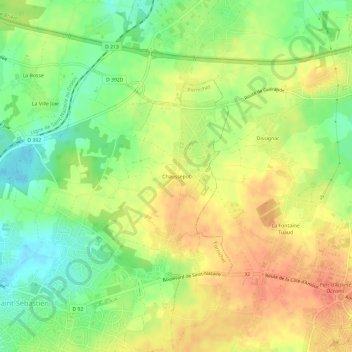
Name: Chaussepot topographic map, elevation, terrain.

Location: Chaussepot, Pornichet, Saint-Nazaire, Loire-Atlantique, Pays de la Loire, France métropolitaine, 44380, France (47.25056 -2.31664 47.29056 -2.27664)

Average elevation: 25 m

Minimum elevation: -1 m

Maximum elevation: 46 m

Other topographic maps

Click on a map to view its topography, its elevation and its terrain.

44380

France > Pays de la Loire > Loire-Atlantique > Pornichet

Average elevation: 17 m

Gear up for your next adventure:

🧴Waterproofing Spray - Restore the DWR coating on jackets and tents
🔭Compact Monocular - One-handed bird watching and trail spotting
💡Compact LED Flashlight - Powerful and portable flashlight for outdoor use
🧼Travel Hand Sanitizer - Keep hands clean when water is scarce
💧Collapsible Water Bottle - Space-saving water bottle for outdoor activities

As an Amazon Associate, this site earns from qualifying purchases at no extra cost to you.