Geolocate

Buffalo City topographic map

Click on the map to display elevation.

About this map

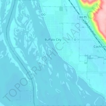
Name: Buffalo City topographic map, elevation, terrain.

Location: Buffalo City, Buffalo County, Wisconsin, United States (44.20128 -91.89296 44.24786 -91.83345)

Average elevation: 209 m

Minimum elevation: 197 m

Maximum elevation: 377 m

Other topographic maps

Click on a map to view its topography, its elevation and its terrain.

Trevino

United States > Wisconsin > Buffalo County

Average elevation: 206 m

Cream

United States > Wisconsin > Buffalo County

Average elevation: 292 m

Gear up for your next adventure:

🪑Insulated Seat Pad - Protect your seat from cold rocks and wet logs
🦶Anti-Blister Balm - Prevents friction and hotspots during long ascents
🥾Mountain Trail Shoes - High-traction shoes for mountain trails
🦟Insect Repellent - Keep mosquitoes and black flies away in wooded areas
🎒Fully Waterproof Backpack - Total protection for photography gear and electronics

As an Amazon Associate, this site earns from qualifying purchases at no extra cost to you.