
Ban Khlong Bang Kaeo topographic map
Interactive map
Click on the map to display elevation.
About this map
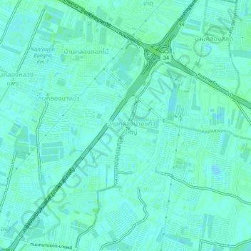
Name: Ban Khlong Bang Kaeo topographic map, elevation, terrain.
Average elevation: 3 m
Minimum elevation: -5 m
Maximum elevation: 6 m
Other topographic maps
Click on a map to view its topography, its elevation and its terrain.
Ban Khlong Bang Bua
Thailand > Samut Prakan Province > Bang Phli District > Bang Kaeo Subdistrict
Ban Khlong Bang Bua, Bang Kaeo Subdistrict, Bang Kaeo Town Municipality, Bang Phli District, Samut Prakan Province, 10540, Thailand
Average elevation: 3 m