Geolocate

Owen topographic map

Click on the map to display elevation.

About this map

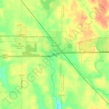
Name: Owen topographic map, elevation, terrain.

Location: Owen, Clark County, Wisconsin, United States (44.92546 -90.63658 44.95873 -90.52536)

Average elevation: 386 m

Minimum elevation: 362 m

Maximum elevation: 407 m

Gear up for your next adventure:

🧢Hiking Hat - Sun-protective and breathable hats for long treks
🦶Anti-Blister Balm - Prevents friction and hotspots during long ascents
🔋Emergency Crank Radio - Weather alerts and power without needing batteries
👟Leg Gaiters - Keep debris, mud, and snow out of your boots
🔦LED Headtorch - Bright and durable light for night activities

As an Amazon Associate, this site earns from qualifying purchases at no extra cost to you.