Geolocate

Tubod Monte topographic map

Click on the map to display elevation.

About this map

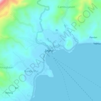
Name: Tubod Monte topographic map, elevation, terrain.

Location: Tubod Monte, Jagna, Bohol, Central Visayas, 6308, Philippines (9.63000 124.34667 9.67000 124.38667)

Average elevation: 46 m

Minimum elevation: -1 m

Maximum elevation: 407 m

Gear up for your next adventure:

🎒Hiking Backpack - Lightweight and ergonomic backpacks for day hikes or multi-day treks
🧢Sun Protection Cap - Breathable cap to protect from sun exposure
🥾Mountain Trail Shoes - High-traction shoes for mountain trails
🥾Trail Hiking Shoes - Durable shoes designed for rugged trails
🧦Thermal Socks - Warm socks for winter hiking or camping

As an Amazon Associate, this site earns from qualifying purchases at no extra cost to you.