
Thank you for supporting this site ❤️
Make a donation
Make a donation
Gear up for your next adventure:
As an Amazon Associate, this site earns from qualifying purchases at no extra cost to you.
Bhawanipatna topographic map
Click on the map to display elevation.
Thank you for supporting this site ❤️
Make a donation
Make a donation
Gear up for your next adventure:
As an Amazon Associate, this site earns from qualifying purchases at no extra cost to you.
About this map
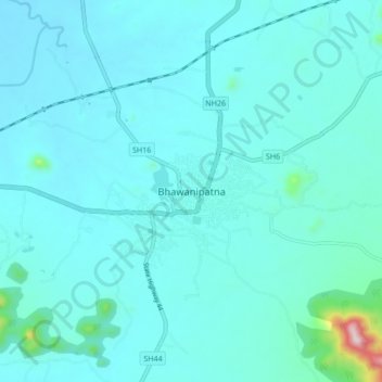
Name: Bhawanipatna topographic map, elevation, terrain.
Location: Bhawanipatna, Sadar, Kalahandi, Odisha, 766001, India (19.87050 83.12783 19.95050 83.20783)
Average elevation: 266 m
Minimum elevation: 224 m
Maximum elevation: 681 m
Thank you for supporting this site ❤️
Make a donation
Make a donation
Gear up for your next adventure:
As an Amazon Associate, this site earns from qualifying purchases at no extra cost to you.