Geolocate

Shahr-e Babak topographic map

Click on the map to display elevation.

About this map

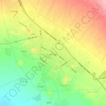
Name: Shahr-e Babak topographic map, elevation, terrain.

Location: Shahr-e Babak, بخش مرکزی شهرستان شهر بابک, Shahr-e-Babak County, Kerman Province, Iran (30.08766 55.07907 30.15248 55.18330)

Average elevation: 1,851 m

Minimum elevation: 1,794 m

Maximum elevation: 1,919 m

Gear up for your next adventure:

🧭GPS Outdoor Watch - Smart watch for navigation and fitness tracking in nature
💡LED Camping Lantern - Illuminate your campsite with long-lasting lanterns
💧Collapsible Water Bottle - Space-saving water bottle for outdoor activities
🌡️Emergency Mylar Blankets - Compact thermal protection for unexpected nights outdoors
🥾Hiking Shorts - Breathable shorts suitable for summer hikes

As an Amazon Associate, this site earns from qualifying purchases at no extra cost to you.