Gooseberry Lake topographic map
Interactive map
Click on the map to display elevation.
About this map
![Gooseberry Lake topographic map, elevation, terrain](/pub/maps/way/3grr/k398zt6/thumbnail.jpg)
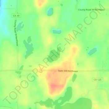
Name: Gooseberry Lake topographic map, elevation, terrain.
Location: Gooseberry Lake, Cass County, Minnesota, United States (47.05510 -94.27839 47.05904 -94.27311)
Average elevation: 418 m
Minimum elevation: 395 m
Maximum elevation: 440 m
Other topographic maps
Click on a map to view its topography, its elevation and its terrain.
![East Gull Lake topographic map, elevation, terrain](/pub/maps/relation/d2z4/6cwb3/icon.jpg)
East Gull Lake
United States > Minnesota > Cass County
East Gull Lake, Cass County, Minnesota, United States
Average elevation: 370 m
![Wren Lake topographic map, elevation, terrain](/pub/maps/way/6cs8/ks9jnt6/icon.jpg)
Wren Lake
United States > Minnesota > Cass County
Wren Lake, Cass County, Minnesota, United States
Average elevation: 418 m
![Pine River topographic map, elevation, terrain](/pub/maps/relation/lsdn/8b2mt/icon.jpg)
Pine River
United States > Minnesota > Cass County
Pine River, Cass County, Minnesota, 56474, United States
Average elevation: 395 m