Geolocate

Whenuakura topographic map

Click on the map to display elevation.

About this map
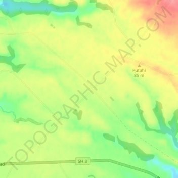
Name: Whenuakura topographic map, elevation, terrain.

Location: Whenuakura, South Taranaki District, Taranaki, 4520, New Zealand (-39.74548 174.51231 -39.72548 174.53231)

Average elevation: 68 m

Minimum elevation: 24 m

Maximum elevation: 109 m

Other topographic maps

Click on a map to view its topography, its elevation and its terrain.

Pātea

New Zealand > Taranaki > South Taranaki District

Average elevation: 29 m

Gear up for your next adventure:

🧥Ultralight Puffy Jacket - Maximum warmth that packs down to the size of an orange
🥾Mountain Hiking Boots - High-traction boots for rocky terrain
🧢Hiking Hat - Sun-protective and breathable hats for long treks
💡Portable Camping Lamp - Rechargeable lamp for campsite lighting
🩹Compact First Aid Kit - Pre-packed essentials for common trail injuries

As an Amazon Associate, this site earns from qualifying purchases at no extra cost to you.