Geolocate

Zumbrota topographic map

Click on the map to display elevation.

About this map

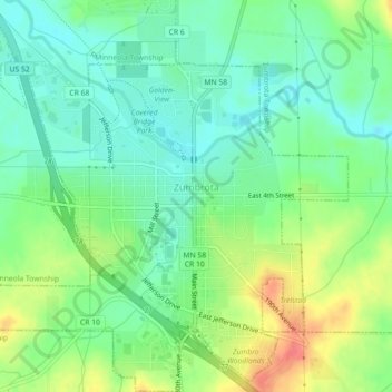
Name: Zumbrota topographic map, elevation, terrain.

Location: Zumbrota, Goodhue County, Minnesota, 55992, United States (44.27728 -92.69630 44.30918 -92.65161)

Average elevation: 312 m

Minimum elevation: 289 m

Maximum elevation: 353 m

Other topographic maps

Click on a map to view its topography, its elevation and its terrain.

Frontenac

United States > Minnesota > Goodhue County

Average elevation: 243 m

Gear up for your next adventure:

🛏️Sleeping Bag - Warm and compact sleeping bags for outdoor camping
🦶Anti-Blister Balm - Prevents friction and hotspots during long ascents
🥾Trail Running Boots - Durable shoes designed for trail running
🧶550 Survival Paracord - Versatile utility cord for emergency repairs and rigging
🥾Lightweight Hiking Shoes - Comfortable shoes for day hikes

As an Amazon Associate, this site earns from qualifying purchases at no extra cost to you.