Geolocate

Mangaon topographic map

Click on the map to display elevation.

About this map

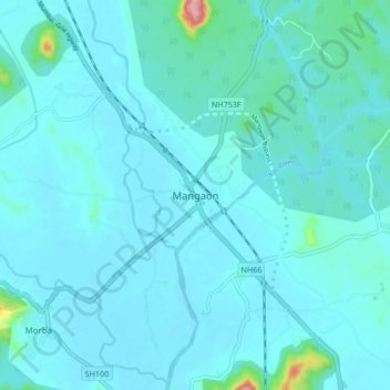
Name: Mangaon topographic map, elevation, terrain.

Location: Mangaon, Raigad District, Maharashtra, 402104, India (18.19817 73.24208 18.27817 73.32208)

Average elevation: 22 m

Minimum elevation: 4 m

Maximum elevation: 223 m

Gear up for your next adventure:

🔦LED Flashlight - Powerful and long-lasting flashlight for camping and emergencies
🧰Multitool Knife - Compact and versatile tool for outdoor use
🥾Trail Hiking Shoes - Durable shoes designed for rugged trails
🧤Thermal Hiking Gloves - Grip-enhanced gloves for cold-weather altitude trekking
🥾Light Hiking Boots - Lightweight and comfortable boots for day hikes

As an Amazon Associate, this site earns from qualifying purchases at no extra cost to you.