Geolocate

Hazel Mountain topographic map

Click on the map to display elevation.

About this map

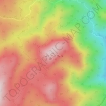
Name: Hazel Mountain topographic map, elevation, terrain.

Location: Hazel Mountain, Rappahannock County, Virginia, United States (38.62146 -78.28477 38.62156 -78.28467)

Average elevation: 678 m

Minimum elevation: 411 m

Maximum elevation: 869 m

Other topographic maps

Click on a map to view its topography, its elevation and its terrain.

Gear up for your next adventure:

🚲Bike Repair Kit - Essential tools for on-trail mechanical issues
🦶Anti-Blister Balm - Prevents friction and hotspots during long ascents
🧰Survival Kit - Essential gear for emergencies in the wilderness
🔥Camping Stove - Portable stoves to cook outdoors with ease
🧤Thermal Hiking Gloves - Grip-enhanced gloves for cold-weather altitude trekking

As an Amazon Associate, this site earns from qualifying purchases at no extra cost to you.