Geolocate

Bloomfield topographic map

Click on the map to display elevation.

About this map

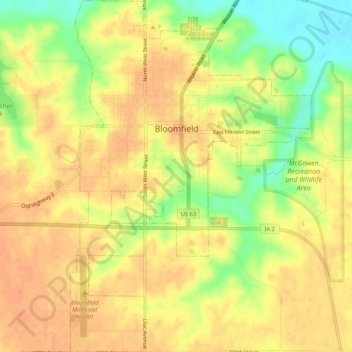
Name: Bloomfield topographic map, elevation, terrain.

Location: Bloomfield, Davis County, Iowa, United States (40.72576 -92.43026 40.76547 -92.39439)

Average elevation: 261 m

Minimum elevation: 233 m

Maximum elevation: 274 m

Gear up for your next adventure:

🧴Waterproofing Spray - Restore the DWR coating on jackets and tents
🥾Hiking Boots - Sturdy boots providing ankle support and traction on rugged trails
🧦Hiking Socks - Moisture-wicking and comfortable socks for long hikes
🪑Insulated Seat Pad - Protect your seat from cold rocks and wet logs
🥘Camping Cookware Set - Compact nesting pots and pans for trail cooking

As an Amazon Associate, this site earns from qualifying purchases at no extra cost to you.