
Setomaa vald topographic map
Interactive map
Click on the map to display elevation.
About this map
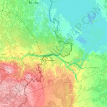
Name: Setomaa vald topographic map, elevation, terrain.
Location: Setomaa vald, Võru maakond, Estonia (57.58047 27.28982 58.10837 27.81911)
Average elevation: 79 m
Minimum elevation: 27 m
Maximum elevation: 225 m