Geolocate

Kotwan topographic map

Click on the map to display elevation.

About this map

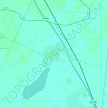
Name: Kotwan topographic map, elevation, terrain.

Location: Kotwan, Chhata, Mathura, Uttar Pradesh, 281403, India (27.82109 77.38744 27.86109 77.42744)

Average elevation: 188 m

Minimum elevation: 185 m

Maximum elevation: 190 m

Other topographic maps

Click on a map to view its topography, its elevation and its terrain.

Chhata

India > Uttar Pradesh > Mathura

Average elevation: 184 m

Gear up for your next adventure:

🧦Hiking Socks - Moisture-wicking and comfortable socks for long hikes
🦯Trekking Poles - Reduced impact on joints for steep topographic climbs
🚲Handlebar Phone Mount - View topographic-map.com live while cycling
Camping Coffee Maker - Brew fresh coffee anywhere on the topographic map
🚑Survival Whistle - Signal for help across long distances in mountains

As an Amazon Associate, this site earns from qualifying purchases at no extra cost to you.