Geolocate

Brezza topographic map

Click on the map to display elevation.

About this map

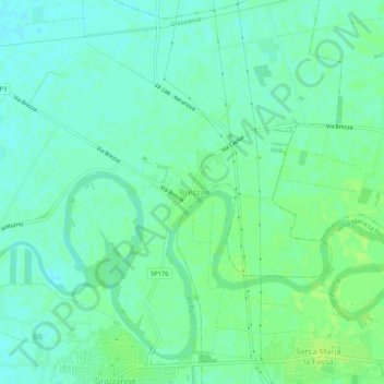
Name: Brezza topographic map, elevation, terrain.

Location: Brezza, Grazzanise, Caserta, Campania, Italy (41.08905 14.09095 41.12905 14.13095)

Average elevation: 13 m

Minimum elevation: 7 m

Maximum elevation: 19 m

Other topographic maps

Click on a map to view its topography, its elevation and its terrain.

Parco regionale del Matese

Italy > Campania > Caserta

Average elevation: 618 m

Castel Volturno

Italy > Campania > Caserta

Average elevation: 1 m

Capua

Italy > Campania > Caserta

Average elevation: 55 m

Mignano Monte Lungo

Italy > Campania > Caserta

Average elevation: 351 m

Teano

Italy > Campania > Caserta

Average elevation: 180 m

Marzano Appio

Italy > Campania > Caserta

Average elevation: 307 m

Capua

Italy > Campania > Caserta

Average elevation: 55 m

Conca della Campania

Italy > Campania > Caserta

Average elevation: 384 m

Cervino

Italy > Campania > Caserta

Average elevation: 215 m

Gear up for your next adventure:

🧴Waterproofing Spray - Restore the DWR coating on jackets and tents
🧳Compression Sacks - Maximize space in your backpack by shrinking gear
🧤Thermal Hiking Gloves - Grip-enhanced gloves for cold-weather altitude trekking
👟Sport Hiking Sandals - Breathable footwear for water crossings and camp rest
🕶️Polarized Sunglasses - Protect your eyes with durable polarized lenses

As an Amazon Associate, this site earns from qualifying purchases at no extra cost to you.